Corvatsch
The Scenic Trail
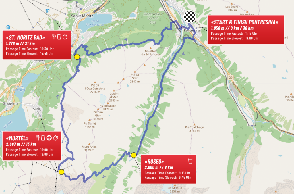
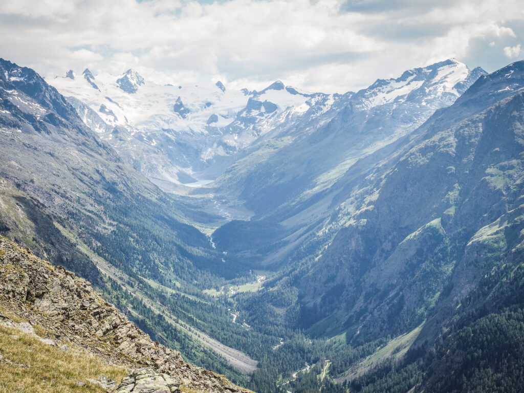
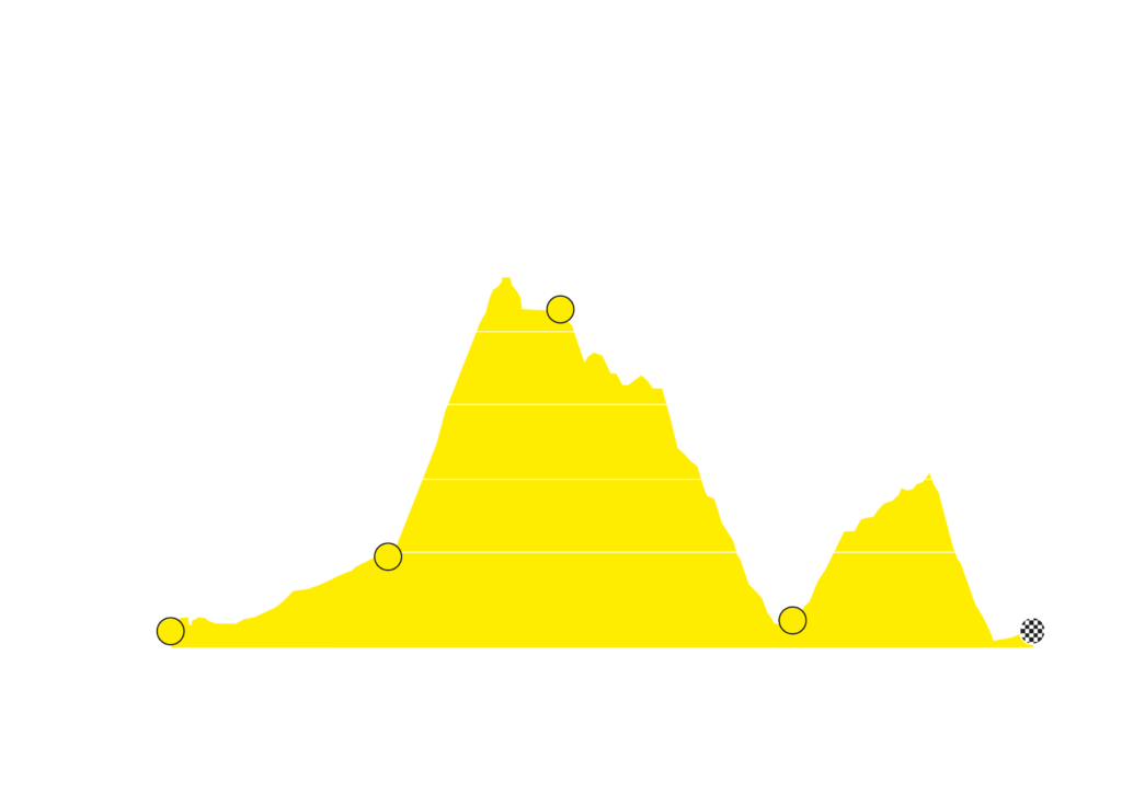
The breathtaking route leads out of Pontresina into the impressive mountain world of Corvatsch. Through the wild and romantic Val Roseg, past the Roseg glacier, you will reach the highest point of the route at Fuorcla Surlej after about 12 km of ascent. A reward for the strenuous uphill is the incredible view. At 2,755 m you are in close contact with the glaciers and have an incredible view of the famous ice giants Piz Bernina and Piz Roseg as well as of the fantastic Upper Engadine lake landscape. You can enjoy this the next kilometers in the direction of St. Moritz in the fantastic downhill. From St. Moritz Bad, the route then goes slightly uphill over Piz Rosatsch back to the finish in Pontresina.
The Facts
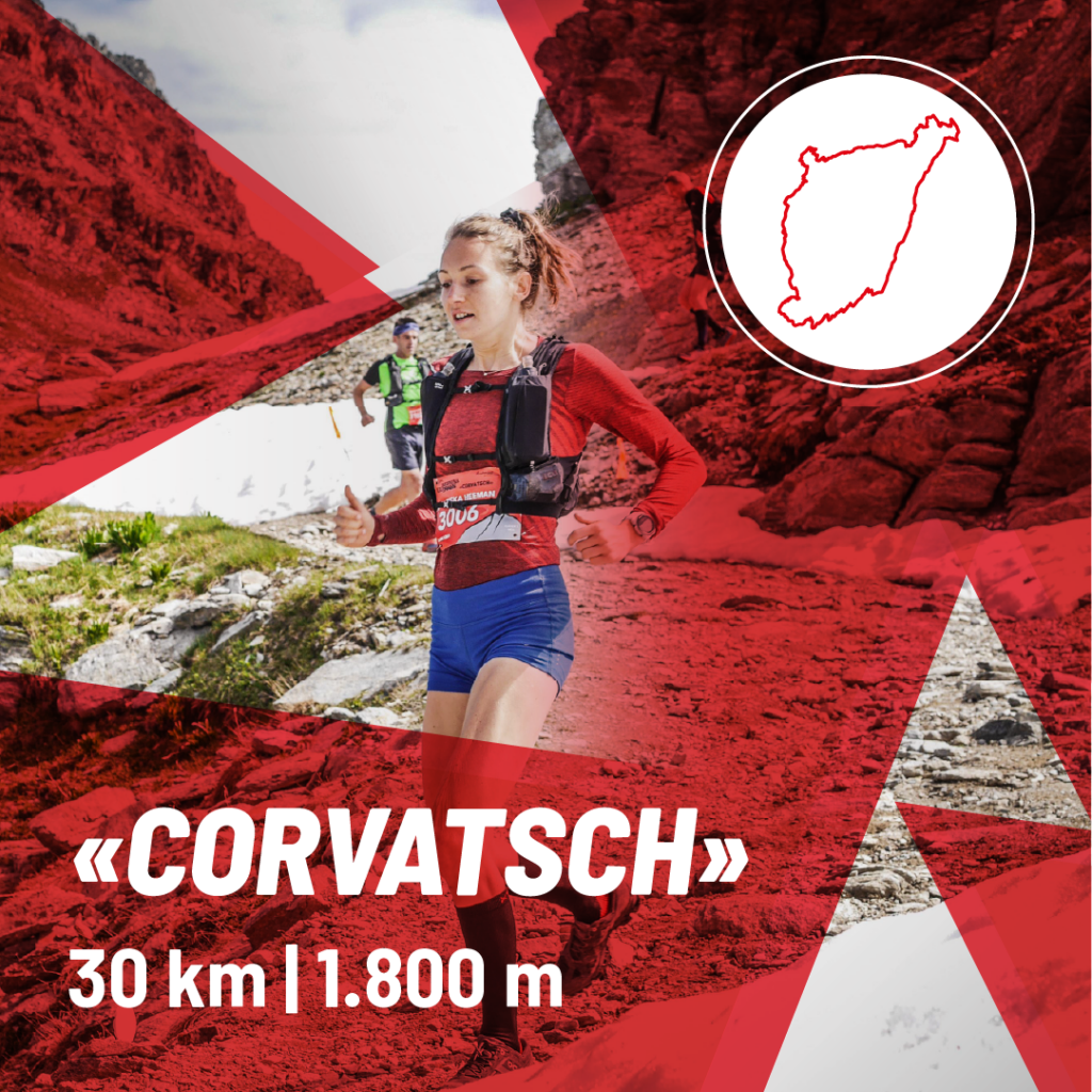
30km / 1.800hm
- Saturday, 4th July 2026, 08:20 am
- Start/Finish: Pontresina: Ultraks Zone
- Distance: 30 Kilometer
- Altitude meters: 1.800m
- Highest Point: Fuorcla Surlej – 2.755 m
- ITRA-Points: 2


What do you reiceive?
- Trackside refreshments
- Runners Meal
- Luggage storage
- GPS-Tracking via Smartphone
- Medal
- Shower
Track profile
You are currently viewing a placeholder content from OpenStreetMap. To access the actual content, click the button below. Please note that doing so will share data with third-party providers.
More InformationHighlights
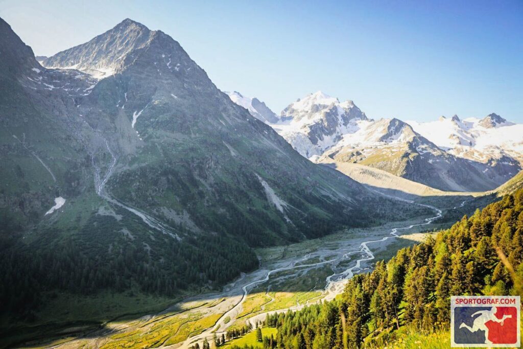
Val Roseg
The Val Roseg is considered one of the most beautiful side valleys in the Engadine. The first kilometres of the Corvatsch lead through the idyllic landscape, before the challenging uphill to Corvatsch starts after approx. 8km.
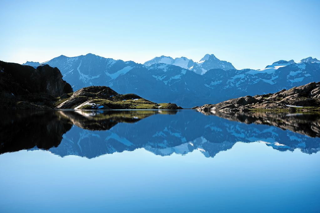
Fuorcla Surlej
After the demanding climb to Corvatsch, a breathtaking view of the famous ice giants Piz Bernina (4049 m) and Piz Roseg (3937 m) awaits you at Fuorcla Surlej, which gets under your skin.
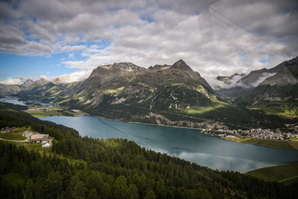
Murtèl
After 13 km you reach the Murtèl middle station on Corvatsch. At 2,687m you have a wonderful view of the Engadine lake landscape and St. Moritz. Murtèl is easily accessible for spectators with the Corvatsch mountain railway.
Lead Times
